Streamline Environmental Project Data Management
Simplify environmental compliance data collection and report generation
with custom applications so you're always audit-ready.
Flowfinity provides one central source of truth for all your field data so everyone has access right when they need it. Resolve formatting issues with templates you can edit to match any data structure. Accelerate report delivery and eliminate costly errors by replacing legacy systems with custom applications you can build quickly for any project.
Digitize data collection and reporting in a flexible platform that won't limit what you can build. Now you can create, automate, and integrate complete solutions for any project all in one place with less strain on your IT resources.
- Ensure accurate data collection
- Automate compliance reporting
- Improve stakeholder relations
- Visualize in interactive GIS maps
- Integrate with core systems
- Build solutions without code
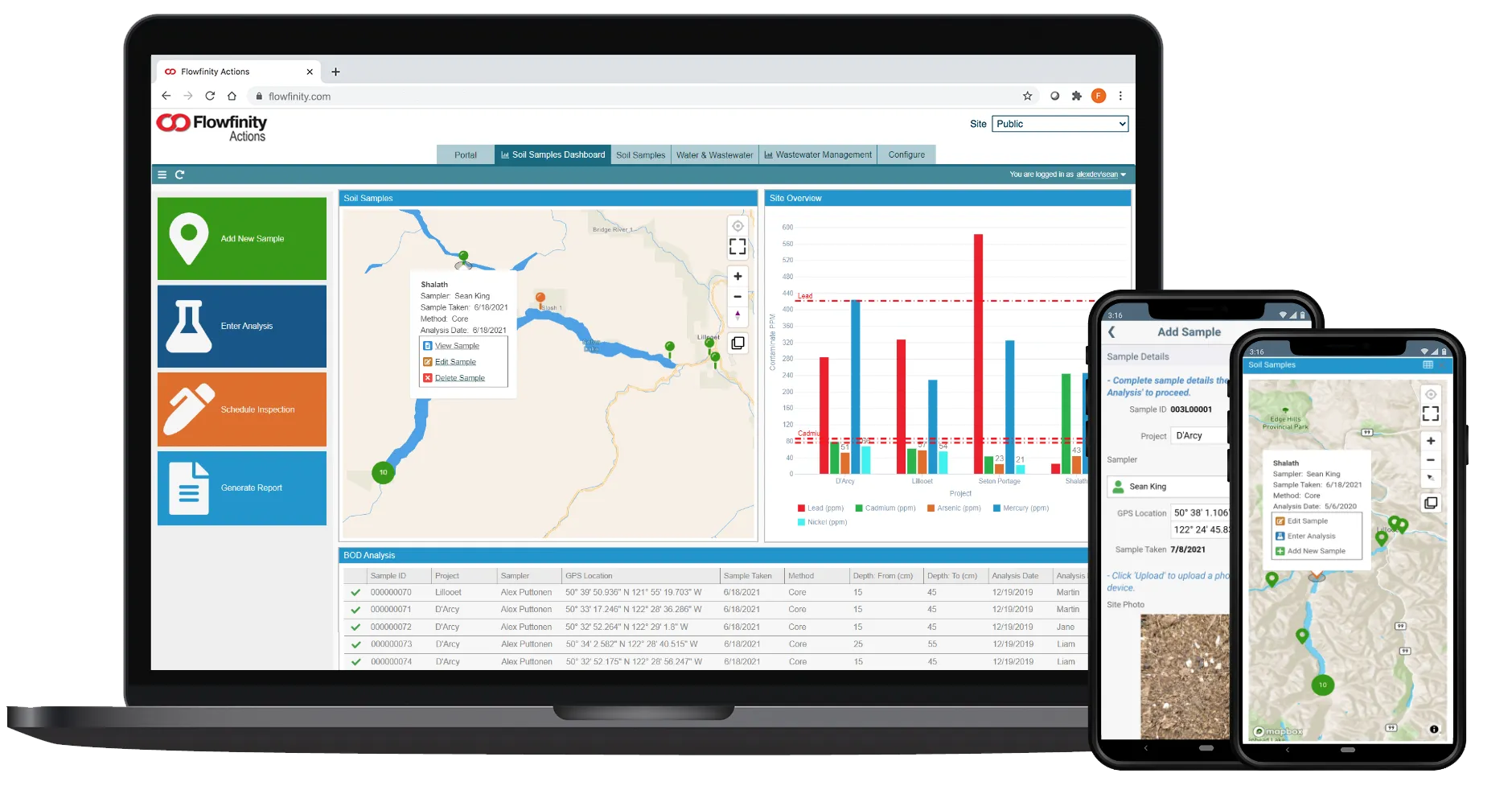
Improve insight into field data and operations
Review field data from a central database in real-time and increase visibility into operations through dashboard visualizations with interactive maps. View your project data anytime, anywhere. Mobile apps work offline in remote areas.

Ensure accurate field data collection at the source
Prevent costly errors by creating step-by-step data collection workflows with on-device calculations, conditional skip logic, entry validation rules, and mandatory fields. Stop performing tedious data re-entry tasks using dated forms and spreadsheets and gain back hours each day to focus on the science.
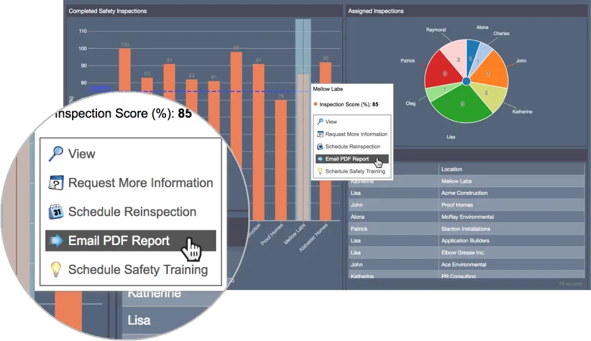
Automate reporting for a better client experience
Provide access on-demand to your applications and reporting dashboards, empowering clients to request services and view reports through a dedicated customer portal. Automate workflows to generate and send PDF reports to key stakeholders, reducing the need for meetings while increasing transparency.

Flowfinity has made communication a lot easier. Field data is available to project managers ASAP, making reporting and related tasks more efficient. We're saving an average of 2 hours a day in reporting time."
- Environmental Scientist, Hemmera (Ausenco)
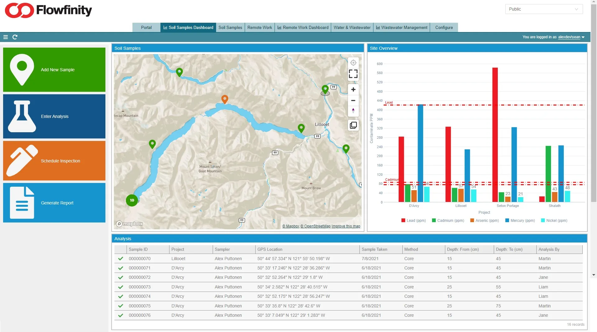
Visualize your geospatial data with integrated GIS maps
Display your geospatial data, map features and attributes within Flowfinity dashboards, providing the ability to launch workflows, edit records and perform analysis inside one core data management system. High-precision GPS capabilities are compatible with Esri ArcGIS and leading GIS platforms.
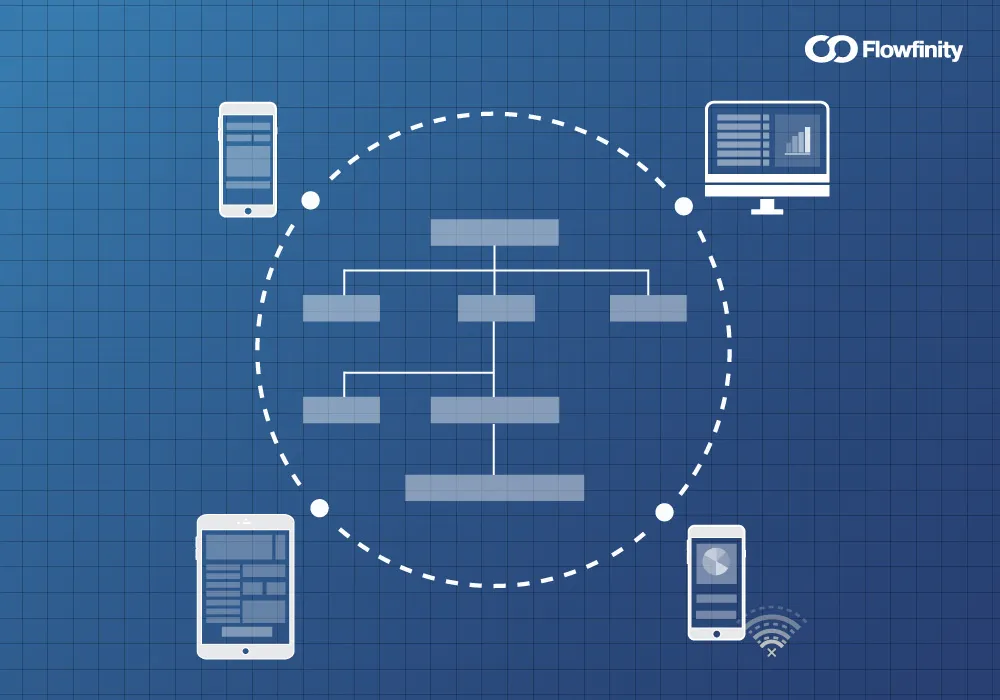
Minimize project risk with unified systems
Flowfinity's no-code platform lets you quickly build your ideal solution for any environmental use case. Integrate with core systems and deploy IoT sensors to create end-to-end processes that bridge the digital and physical worlds for 24/7 monitoring and control.
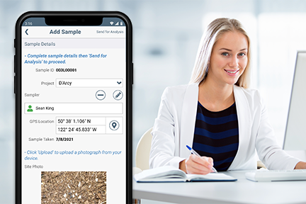
Gain competitive advantage by innovating with no-code
Empower engineers and scientists to innovate solutions independently that boost productivity and improve team collaboration. Move agile iterations quickly from concept to reality while reducing demand on IT resources and freeing your highly skilled staff to focus on their areas of expertise and value creation.
Ready to see a demo?
We've told you that Flowfinity is the fast, easy and secure way to deploy enterprise-grade applications, now let us show you how.
Join our experts for a personal 30 minute demonstration to discover how our powerful no code development platform can help you reimagine your processes, accelerate solution delivery and transform your business.

